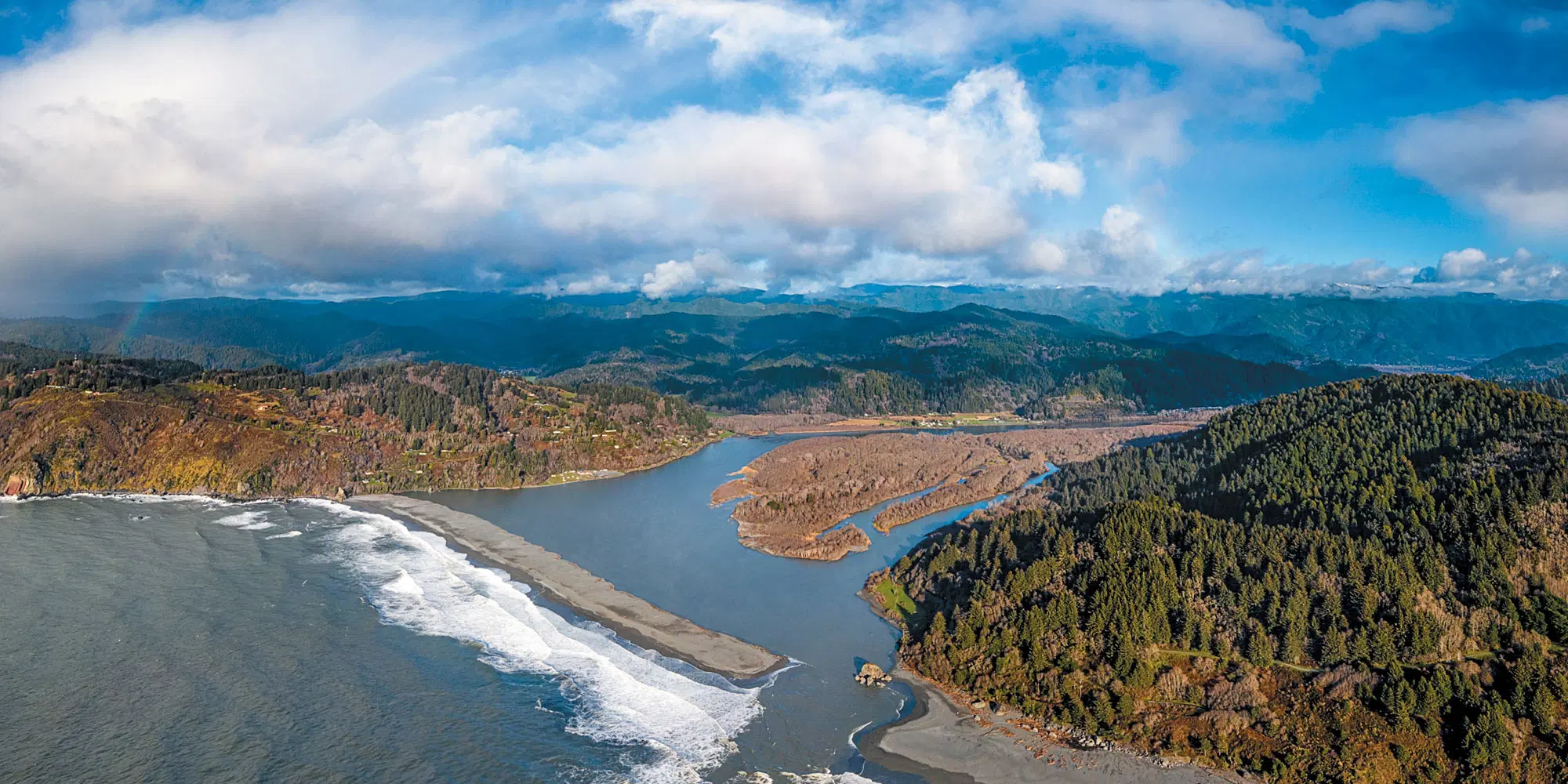
Development of the statewide hydrologic dataset used in WisDOT’s 2025 State Highway Map, involving spatial analysis, cartographic generalization, georeferencing, data editing, and QA/QC to transform detailed hydrographic data for small-scale statewide mapping. My work transformed statewide hydrographic data from approximately 1:24,000 to 1:800,000 scale while maintaining cartographic integrity. The resulting hydrologic data were also incorporated into WisDOT aeronautical mapping products. This work became the subject of a 30-minute professional presentation at the 2025 Wisconsin Land Information Association Conference.